The state of JALISCO includes cities with street and avenue name,
which you can search through entering data such as: State, city, street or street crossing.
Included cities: Ahualulco de Mercado, Ajijic, Ameca, Arandas, Atotonilco El Alto, Autlan, Ayotlan, Bahia de Chamela, Barra de Navidad,
Careyes Ciudad Guzman, Cocula, Concepcion de Buenos Aires, Costalegre, Cruz de Loreto, Cuastecomates, Cuixmala, Cuquio, Chapala, El Grullo El Tamarindo,
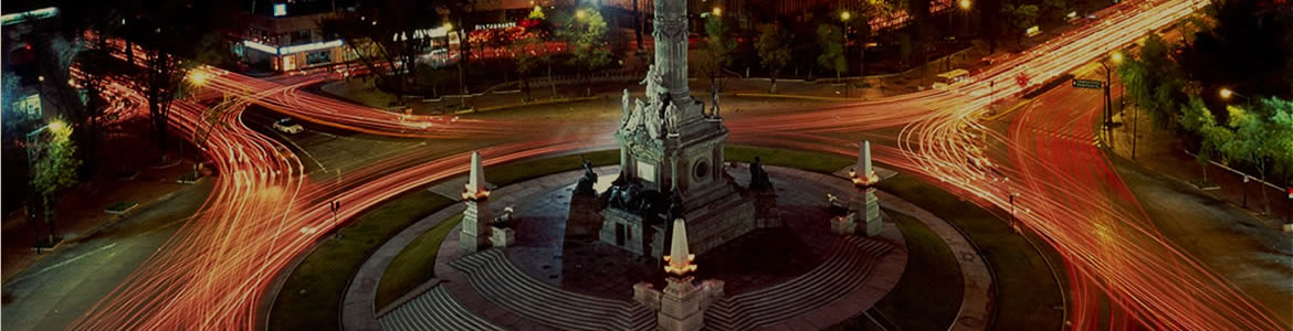
Encarnacion de Diaz, Etzatlan, Guadalajara, Jalostotitlan, Jamay, Jocotepec, La Barca, Lagos de Moreno, Juanacatlan Magdalena, Majahuitas, Mascota, Mazamitla,
Melaque, Ocotlan, Ojuelos, Puerto Vallarta, Punta Perula, Quemaro, Quitupan, San Gabriel San Juan Cosala, San Juan de los Lagos, San Julian, San Miguel el Alto,
San Sebastian del Oeste, Santa Maria del Oro, Sayula Talpa, Tamazula, Tecalitlan, Tapalpa, Tequila, Tlaquepaque, Tenacatita, Teocaltiche, Tepatitlan, Tomatlan,
Tonala, Tonaya Tuxpan, La Manzanilla, Union de San Antonio, Valle de Juarez, Villa Corona, Villa Hidalgo, Yahualica, Yelapa, Zapotlanejo
The map features are: - Highways - Roads - Dirt roads - Trails -
Railroad tracks- Cities - Towns - Neighborhoods - Ranches - Airports - Contour lines every 30 mts - Hill names- Points of interes t- Rivers -
Toll booths - Rural areas - State lines- Lakes and dams- Nature reserves- Gas stations- Hospitals - Schools - Bus stations - Shopping malls-
Sports areas- Government offices- Markets - Etc.
* The state of JALISCO is included in MAP E32 along with the rest of the country.


